Maps and Aerial Photos
The maps and photos below were taken from the Bristol City Council website
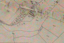
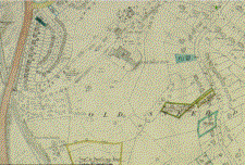
1840 Tithe Map (excerpt)
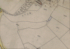
1840 Tithe Map (excerpt)
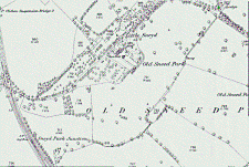
Excerpt from 1880 O.S.
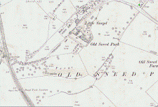
Excerpt from 1900 O.S.
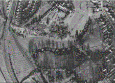
1946 aerial view
Excerpt from 1949 O.S.
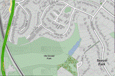
Excerpt from 2012 O.S.
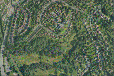
2012 aerial view
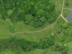
Aerial showing 'desire line' in upper flower meadow